
Beavercreek Township Neighbors by Parcel
The defensible way to understand a block is to start with the target parcel and inspect nearby parcels one at a time. Greene County’s land systems are especially important because Beavercreek Township is unincorporated. GIMS supplies the map setting, the Auditor provides owner and property context, and the Recorder holds the recorded-document chronology. Historical collections can add dated occupants or maps. No one source is a complete account of Beavercreek Township neighbors, and each source has a different access boundary.
| Source | What it can show about a block | Access and limit |
|---|---|---|
| Greene County GIMS Parcel Viewer | Parcel edges, road geography, selected parcel context, and linked map materials. | Free map browsing or GIS-office help; no verified radius or adjacent-parcel results list. |
| Greene County Auditor | Parcel, owner, situs, mailing address, legal description, value, credits, and transfers. | Free search by parcel, owner, or address, plus counter or phone help; owner is not automatically an occupant. |
| Greene County Recorder | Recorded parties, instrument type, recording date, and property chronology. | Index begins in 1984; counter, Archives, and library routes cover older work. |
| Ohio voter tools | Permitted public registration information for a named registered elector. | Initial search needs first name, last name, and county; not a block browse. |
| Greene County Room and Archives | Dated maps, directories, newspapers, and historic-property records. | Collection date and geographic coverage must be read before drawing a conclusion. |
| Township and county land-use records | Public zoning, permit, inspection, or code context for a defined parcel. | Request a particular public record by address, date range, and record type. |
An Auditor mailing address can be a post office box, an estate representative, an agent, or another correspondence point. It is not proof that the named person lives at the physical parcel. Similarly, a deed party documents a land transaction rather than a present neighbor relationship. Treat the date, record type, and named role as part of the finding.
Map Beavercreek Township Neighbors
The Greene County GIMS Parcel Viewer is the safe starting point for a block walk. County instructions verify parcel search, map browsing, parcel selection, Survey Record access, and volume or page entry for a survey. They do not verify a public button that returns every adjoining parcel or everyone within a radius. Pan the map around the target parcel and open each relevant parcel separately. That method describes map-browse surrounding parcel boundaries without overstating what the viewer returns.
- Locate the target address through GIMS map navigation or Parcel Identifier and Parcel Search.
- Select the target parcel and record the parcel identifier, road location, and any linked survey, deed, or plat reference.
- Pan to a touching or nearby parcel shape and repeat the separate parcel review rather than assuming a block-wide automated result.
- Cross the parcel identifier or legal description to the Auditor for owner and property context, then to the Recorder for a dated document question.
- Use a directory, map, or newspaper only for the date and place printed in that historical source.
The GIMS department maintains data supporting 9-1-1, appraisal, planning, voting, utilities, and other county functions. Those operational datasets do not convert the public viewer into a complete people list. A recorded-document question belongs with the Recorder’s Document Search, the Recorder counter, or the historical fallback route. For the full documented trail along a named road, use the Beavercreek Township street directory rather than extending a block review beyond what the parcel records support.
Note: GIMS establishes parcel geography first, then the Auditor and Recorder supply separate records for the selected parcel.
Beavercreek Township Neighbors and Owner Roles
The Greene County Auditor Real Estate Search has a global prompt for parcel number, owner name, or address. Its advanced location form separates street number, direction, street, suffix, unit, City, State ZipCode, and property type. That makes it useful after GIMS identifies a parcel or when an exact address is already known. The Auditor’s published parcel information includes ownership, property address, legal description, transfer and conveyance data, building information, valuation, owner-occupied or homestead credit, and other assessment fields.
Each of those fields has limits. Situs means the physical parcel location. Mailing address means where tax correspondence is sent. Neither is a complete household list. A homestead or owner-occupied credit can be relevant to its tax period, but it is not a broad claim about who is present now. This distinction avoids the common myth that county ownership data identifies every Beavercreek Township neighbor at an address.
Parcel roles. Keep the owner, mailing contact, recorded party, and physical situs in separate notes. Combining them without a record date can produce a false conclusion about a block.
Beavercreek Township Neighbor Voter Checks
The Ohio Secretary of State Voter Search is a narrow name-based tool. First name, last name, and Greene County are required before the query runs. The form may later offer a street-name narrowing control, but it is not a route for browsing a block. When a named person is being verified, the search can help confirm the registration and precinct information allowed on the public site. A non-match can reflect a name change, move, update timing, protected record, or another issue that needs the Board of Elections.
| Public-record point | What the rule means for neighbor research |
|---|---|
| Name, current residence address, precinct, registration date, and participation history | These are among fields state law permits on the web lookup, subject to its current rules. |
| Participation history | It reports elections in which a person participated, never ballot selections. |
| Telephone, email, SSN, driver or state ID, confidential registration, and protected address | These are not ordinary public lookup fields and must not be sought or inferred. |
| Raw voter snapshot files | The Ohio DATA Act route has separate limits and must be used only in accordance with law, not to make a block roster. |
The Ohio Public Records Act guidance explains the state access baseline, while R.C. 3503.13 identifies voter-record exclusions and R.C. 3503.153 governs fields made available on the statewide database website.
The Ohio Public Records Act guidance is pictured here because access to a government record still carries statutory privacy limits for Beavercreek Township neighbors.
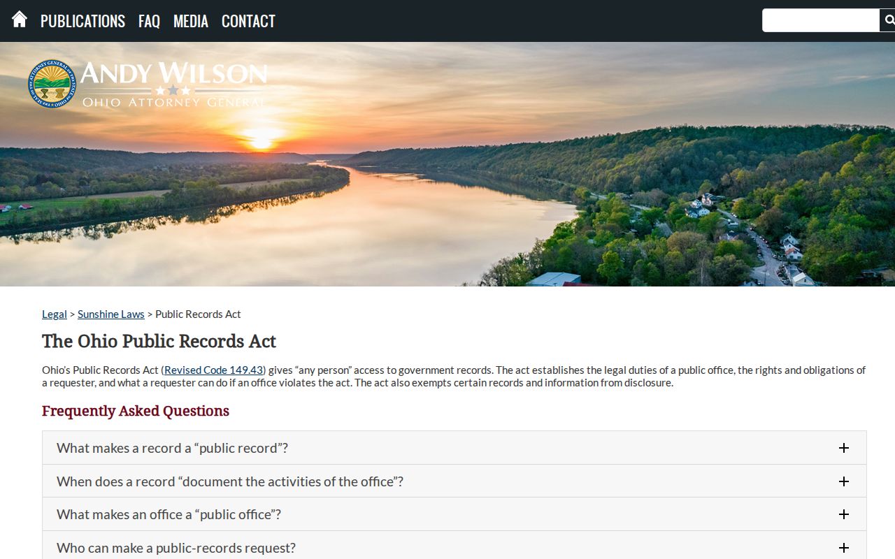
Use an official access route for a specific permitted record, and leave exempt or confidential details with the custodian.
Beavercreek Township Neighborhood Records
The community-directory layer is deliberately limited here. Research found no official township umbrella directory of neighborhood associations, HOA memberships, block-watch participants, congregation rosters, or civic-club members. Voluntary groups may publish their own public contact channels or meeting notices, but membership lists should not be presumed public or collected from private sources. For location context, use parcel, zoning, taxing-district, and public meeting material instead.
| Published township community record | Verified status | Responsible route |
|---|---|---|
| Neighborhood association or HOA member roster | No official township roster located. | Use a voluntary group’s own public contact channel only when it publishes one. |
| Block-watch or congregation membership directory | No searchable township directory located. | Do not assume a private membership record is public. |
| Township zoning and code context | Township department functions are published. | Ask Community Development and Risk for a defined public record. |
| Local history resources | Directories, newspapers, and maps are available through established county collections. | Ask collection staff about a date, place, and volume. |
Township Community Development and Risk
The department page is the public contact route for township zoning, code, and risk context. Give an address or parcel and a narrow record request.
Greene County Room
Local History and Genealogy staff assist with historical directories, maps, newspaper microfilm, and family-history materials in the Xenia Community Library.
Historic Beavercreek Township Neighbors
Older records can describe a block at a particular point in time, but they need a date label. The Greene County Room holds city directories reaching 1870 and newspaper microfilm reaching 1814, according to its January 2026 collection update. Greene County Archives adds maps, historic indexes, catalog and digital-repository searching, and reading-room or remote-request routes. An old directory entry may identify an occupant then, while a deed identifies a land transfer. Neither should be recast as a present-neighbor claim.
For township research, the historic-property inventory is a useful geography bridge because it is arranged by township, road, and current house number. Pair it with legal description, atlas, deed-index, or newspaper material when a modern number fails. County atlases from 1855, 1874, and 1896 give additional dated road and parcel context. The Archives catalog is separate from the digital repository, so a catalog result may still require a reading-room visit or a research request.
The Greene County Room collection update documents the local historical sources used for a Beavercreek Township neighbors search.
Beavercreek Township Neighbor Roles
A name associated with a professional credential, business filing, permit, or recorded document has a defined role in that record. It does not establish a residence, social relationship, or membership in a nearby block. Ohio’s public eLicense lookup is therefore a separate credential-verification route, not a substitute for parcel evidence. Keep a credential result tied to its agency and date, then return to the appropriate land or local-history record for a location question.
The Ohio eLicense lookup is shown here to distinguish a state credential search from a Beavercreek Township neighbors record.
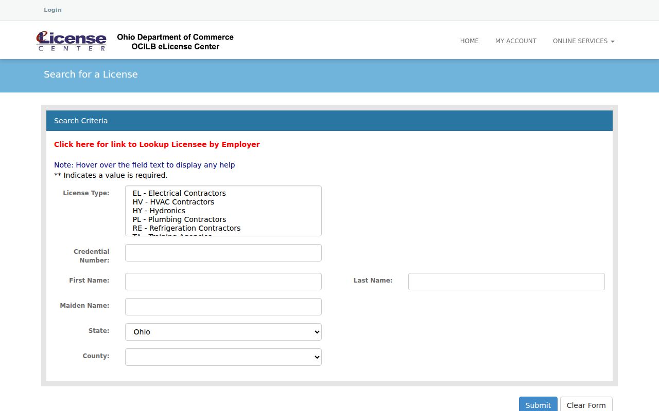
The agency’s search confirms a public credential only within the program’s stated scope and does not establish a connection to a particular parcel.
Limits on Beavercreek Township Neighbor Searches
Official parcel and document systems are more accountable than commercial neighbor tools because the custodian, record date, and source role are visible. Commercial tools may combine old or incomplete material and can misattribute an address. Neither category creates a lawful right to private household, utility, delivery, motor-vehicle, or confidential-address information. The best approach is a specific question, a dated official source, and a correction request to the office that actually maintains the record.
| Official record route | Commercial neighbor-tool category |
|---|---|
| Identifies a public custodian, record type, and access channel. Parcel, deed, and voter records have defined scope and exclusions. | May combine data of uncertain date or source. Treat it as unverified until the actual custodian record is checked. |
Ohio Safe at Home provides substitute-address and confidential-registration protections for qualified participants under R.C. 111.41 through 111.47. Protected voter fields are excluded from ordinary disclosure. A missing map, parcel, or web result is never a reason to seek around the protection. Contact the official Safe at Home program or the relevant custodian for a proper confidentiality question.
Lawful use. Beavercreek Township neighbor records can support family history, neighborhood property curiosity, civic awareness, and direct verification with the custodian. Do not use them to watch, threaten, stalk, harass, or harm another person.