
Walk a Beavercreek Township Street by Address
A street search in the township begins with land records, not a list of people. The Greene County Auditor Real Estate Search accepts an address, parcel number, or owner name. Its result can connect a location to the parcel identifier, situs address, legal description, transfer information, and ownership record. Next, the Greene County GIMS Parcel Viewer puts that parcel in its road and boundary setting. This is the practical way to move along a road without claiming that nearby parcels establish who currently lives in each building.
Keep each record in its proper role. An owner may receive tax mail somewhere other than the parcel. A recorded party may be a trustee, estate representative, lender, or former owner. A public voter query is a named-person check, not a street-browse tool. The sequence below preserves those distinctions while giving a repeatable street-directory trail.
- Enter the complete address in the Auditor search and save the parcel identifier, situs address, and legal description from the returned property record.
- Find that parcel in GIMS. Compare its shape, road location, and any linked survey, deed, or subdivision-plat material before moving to another parcel.
- Use the parcel and legal-description clues in the Recorder document index to identify the latest recorded instrument and its grantor and grantee.
- If a particular person is already known, use the Ohio voter form with first name, last name, and Greene County. It can confirm only the public information that the state permits.
- For older occupancy evidence, ask the Greene County Room to check the relevant directory, map, newspaper, or deed-index material for the right date and geographic coverage.
Note: A carefully dated parcel trail is stronger than an undated claim about an entire Beavercreek Township street.
Beavercreek Township Street Directory Search Fields
The Auditor’s advanced location form is the detailed address route for the Beavercreek Township street directory. It separates number, direction, street, suffix, unit, and a combined City, State ZipCode control. That separation is helpful where a road name is shared or a directional prefix matters. The locality control narrows a result; it is not a boundary map. Select the relevant property type and refine an ambiguous result with the full address rather than assuming the first match represents the intended parcel.
| Auditor field | Use for a street search | Verified note |
|---|---|---|
| Global property search | Start with parcel number, owner name, or address. | The official prompt names all three routes. |
| Street Number and Street | Locate a specific road address. | Both appear in the advanced location form. |
| Pre-Direction, Suffix, Post-Direction | Distinguish similar road names. | Each is a separate address control. |
| Unit Designator and Unit | Add a unit when the address calls for one. | Both controls are present but optional. |
| City, State ZipCode | Narrow a locality result. | It is not an authoritative ZIP boundary tool. |
| Included Property Types | Choose Real Estate or Manufactured Home. | The form provides those choices before Search. |
The county real-estate information page describes the property data behind this search, including ownership, property address, legal description, transfer data, credits, and valuation context. A property record can support an owner or parcel finding. It cannot establish every household member or current occupancy.
The Greene County real-estate information page is shown below as the official source for this Beavercreek Township street directory route.

Use the displayed county route to confirm which office maintains the parcel record before seeking help with an uncertain address.
Beavercreek Township Street Grid and Jurisdiction
Greene County GIS, not the adjacent City of Beavercreek, assigns addresses in Beavercreek Township. The county addressing program uses a one-mile grid centered at Main and Detroit Streets in Xenia, with 500 numbers in each grid square. That local records geography explains why a long address number does not necessarily identify a city government or a postal boundary. It also helps explain why a Beavercreek mailing city can coexist with county records and township zoning contacts.
When an address is uncertain, first verify the exact delivery address, then compare it with the parcel and taxing information in GIMS or the Auditor record. A legal description is more stable than a road number when looking through older material. The township’s boundaries meet the City of Beavercreek, Fairborn, Xenia Township, Sugarcreek Township, and the wider Dayton postal area, so the place name alone is not enough to select a custodian.
The Greene County addressing page documents the grid used for a Beavercreek Township street directory search.
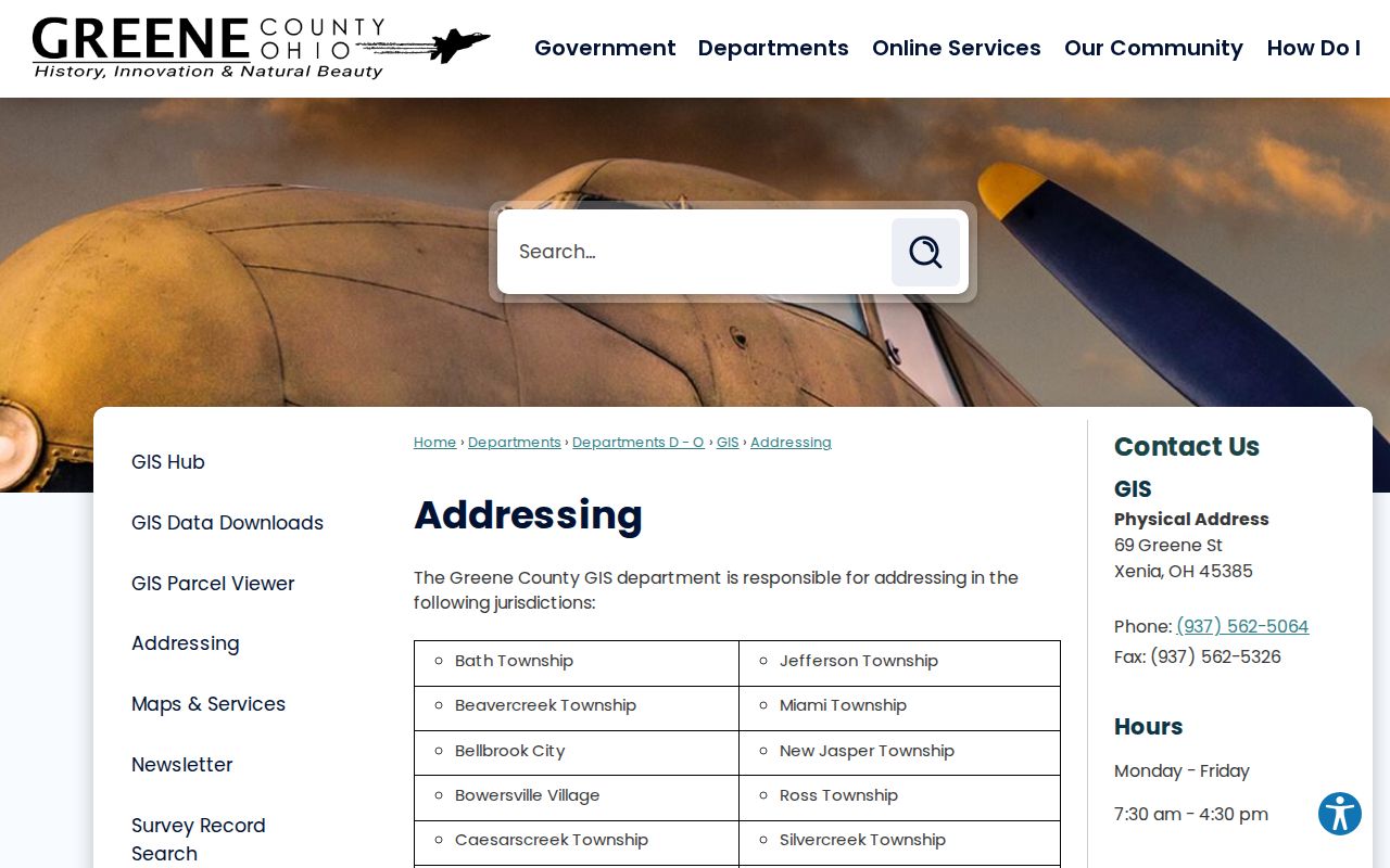
The official addressing guidance is for valid parcel and development address work, not for compiling a resident list from street numbers.
Records Along Beavercreek Township Streets
Several offices hold parts of the street record. The parcel number is the best connector between them. It ties the Auditor’s ownership and assessment context to GIMS geography, a Recorder instrument, and a request for a permit or zoning record. Each source answers a narrower question than a Beavercreek Township street directory phrase might suggest, so record the source date and the role shown beside every name.
| Address-keyed record | Custodian | What it can show | Online and fallback route |
|---|---|---|---|
| Parcel and real-estate record | Greene County Auditor | Parcel, owner, situs, legal description, valuation, transfers, and credits. | Auditor search, counter, or phone assistance. |
| Parcel map and linked materials | Greene County GIS | Parcel location, road setting, and map-linked survey, deed, or plat context. | GIMS or GIS office at 69 Greene Street. |
| Recorded instruments | Greene County Recorder | Parties, document type, recording placement, and property chronology. | CountyFusion index, counter, request, Archives, or Room film. |
| Permit, inspection, zoning, or code file | County Building Regulation or Township Community Development and Risk | Public project, work, inspection, or enforcement information for a defined address and date. | Confirm jurisdiction, then request the particular public record. |
| Named voter registration check | Ohio Secretary of State and Greene County Board of Elections | Only state-authorized public information for a named registered elector. | State form, board correction channel, or lawful data route. |
The state Ohio Voter Search requires first name, last name, and county. It may then offer street-name narrowing, but it is not a public roster for browsing a street. The public data rules in R.C. 3503.153 and the exclusions in R.C. 3503.13 keep the lookup focused on an individual registration question.
Deed Chain for a Beavercreek Township Road
The Recorder’s Document Search is the next stop after the parcel has supplied a stable identifier. County instructions direct a user to log in as a guest, accept the terms, and choose Search Public Records. For plats, the documented routes include Name, Plat Book/Page, and Plat Cabinet/Page. Survey material can be sought by Book/Page. Use the newest instrument as a starting point, then work backward through the recorded party and legal-description trail.
- Parcel
- A county property unit used to connect a physical location with mapping and tax records.
- Situs address
- The physical location of the parcel. It is different from the tax mailing address.
- Plat
- A recorded subdivision or survey map that can connect lots and blocks with the land description.
- Legal description
- The lot, block, subdivision, survey, section, or metes-and-bounds language used to identify land in a record.
The web index begins in 1984. Older work continues at the Recorder counter, through Greene County Archives transcribed deeds for 1804 to 1864, and at the Greene County Room’s deed-index film and microfiche. County survey instructions are the source for the documented book, page, and plat search routes shown in this Beavercreek Township street directory.
The Greene County survey information page shows the official survey and plat path used with property records.
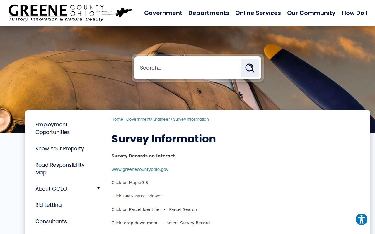
A book or cabinet reference can bridge a parcel record to a recorded map, but it does not by itself identify a current resident.
Beavercreek Township Street Permit Records
Permit and zoning files are address evidence, not a directory of people. Greene County says Building Regulation serves unincorporated Greene County except for its listed city, village, and government exceptions, making it the practical first contact for a township parcel once jurisdiction is confirmed. The Township Community Development and Risk office is a second channel for zoning, code, inspection, and fire-prevention context. Ask for a specific address or parcel, date range, and record type.
No verified standalone township permit search was located. If the needed record is not available at the counter, request the public portion through the appropriate custodian. The county public-records route accepts a narrow request rather than a general question about a road. The township’s zoning map was adopted in 1951 and last amended in 2016, which dates the map context, not occupancy.
The Greene County Zoning Center provides the official zoning route relevant to a Beavercreek Township street directory search.
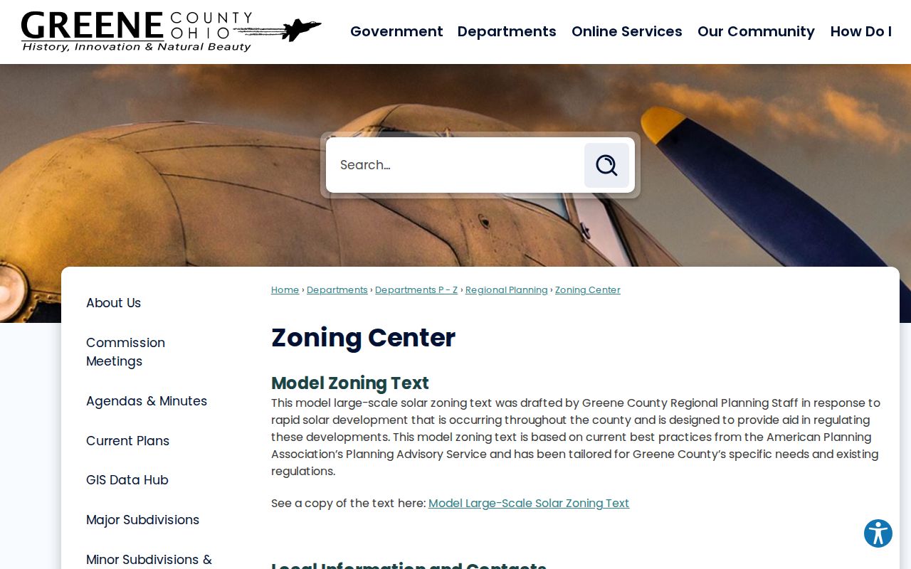
Zoning boundaries can clarify the responsible office, while parcel and deed records remain the source for land and recorded-document questions.
Old Beavercreek Township Street Numbers
A current street number can fail in an older record. Greene County’s historic-property guide warns that street names and house numbers may have changed, and the research found no documented single township-wide renumbering year. Carry the legal description, subdivision or lot, historic road name, parcel history, and an atlas or map comparison across time. That is safer than treating a modern grid number as proof that an older directory entry refers to the same place.
The Greene County Room is the local in-person fallback for directories, newspaper microfilm, maps, historic-property inventories, and deed-index material. The Greene County Archives adds a catalog, reading-room, and research-request route for historical county material. The Room’s 2026 collection description confirms city directories reaching 1870 and newspapers on microfilm reaching 1814. A directory identifies an occupant associated with its own date and coverage. Before asking for a reverse or criss-cross section, confirm that the particular volume has one; that format was not verified as a general local collection feature.
For a dated household trail rather than current address work, the Beavercreek Township city directory page focuses on how to read the historical collections.
Beavercreek Township Street Record Copies
The Recorder’s web search is not the only access channel. The Recorder FAQ says internet images are watermarked and describes office-copy options. Its stated route is $0.10 per page for a self-service official copy, or $2.00 per page when Recorder staff makes the copy; phone orders add mailing or fax cost. A watermarked image may help identify a document, but an office copy is the appropriate route when an unwatermarked official copy is needed.
For a defined public record, Greene County also provides NextRequest. The FAQ preserves email, mail, fax, and in-person submission as alternatives. Statewide, the Ohio Public Records Act guidance explains inspection and copy access under R.C. 149.43, subject to exemptions. Give the office a parcel, document number, street address, date range, and requested format, then ask for a cost estimate when one may apply.
Note: A request that names a parcel and date range gives the custodian a workable path without asking it to infer a person from an address.
Limits of a Beavercreek Township Street Directory
Public land records can identify parcels, owners, recorded parties, and dated property events. They do not lawfully produce every renter, household member, utility customer, delivery recipient, or motor-vehicle registrant along a Beavercreek Township street. The tax mailing address may point to a post office box, agent, business, estate, or another correspondence address. A homestead or owner-occupied credit is a tax-program field for its relevant period, not a complete statement of who lives there.
Ohio Safe at Home participants, protected voter records, restricted court matters, and other confidential information must not be reconstructed from partial results. The Ohio Safe at Home program is the appropriate official channel for eligible confidential-address protection. A missing result is not a reason to infer a protected address or relationship.
Lawful use. Beavercreek Township street records support family history, property research, estate questions, civic context, and direct custodian verification. Using address information to watch, threaten, stalk, harass, or harm another person is prohibited.