
Beavercreek Township ZIP Code Routes
ZIP Codes are USPS delivery-routing designations, not township or municipal lines. Greene County's own records give two documented Beavercreek Township-area examples: 45431 appears in a county township plan and 45434 appears on the township's official contact address. The county GIS road data carries left-side and right-side ZIP and USPS-city attributes, which is why an exact street and side of the road matter. No reviewed source publishes one authoritative list of every ZIP boundary inside the township. Treat the following as a routing inventory, then verify each delivery address with USPS and the county parcel tools.
| ZIP Code | Area or mailing context | Post-office label in records context | Research note |
|---|---|---|---|
| 45431 | Documented Beavercreek-area route | Beavercreek mailing city | GIS legend associates this ZIP with both Beavercreek City and Beavercreek Township. Confirm the individual parcel. |
| 45434 | Township administrative-address route | Beavercreek mailing city | The township office uses this ZIP; that does not establish full township coverage. |
| 45301 | Alpha and historic township-area context | Alpha postal context | Street-level township coverage was not extracted. Use USPS and GIMS before relying on it. |
| 45385 | Xenia-side county-seat context | Xenia postal context | A county-office ZIP does not establish township service or a property location. |
| 45430 and 45440 | Dayton-area routing candidates | Dayton mailing context | County GIS supports multiple postal sides; no township-wide coverage claim is supported. |
The omitted regional candidates remain unconfirmed for individual township streets. A precise delivery result is more reliable than a broad place-name assumption.
Beavercreek Township ZIP Code Grid
Greene County GIS, rather than the City of Beavercreek, assigns addresses in Beavercreek Township and other unincorporated areas. The county uses a one-mile grid centered on Main and Detroit Streets in downtown Xenia. Each grid square has 500 numbers, roughly one number for every ten feet. That system helps explain long street numbers and makes the county map more useful than a postal label when a record needs to be tied to a particular parcel or road segment.
County GIS says its datasets support 9-1-1, code compliance, emergency management, engineering, planning, real-estate appraisal, voting, and utilities. Those layers provide geography and public-service context. They do not turn the map into a roster of every person at an address. Use the GIMS viewer to locate the parcel, then move to the Auditor or Recorder only for the separate property or recorded-document question.
Verify Beavercreek Township ZIP Codes
Start with a complete delivery address in the official USPS lookup. Then compare that result with the Greene County GIMS parcel viewer and the Auditor's property record. This sequence distinguishes delivery geography from the township, city, and tax-district context that controls many records requests. It also avoids a common local mistake: a Beavercreek mailing name can belong to a city, township, or another county-record jurisdiction. A ZIP code is a useful first filter, not a final answer about a property.
- Enter the complete street address in the USPS ZIP Code Lookup and save the delivery result.
- Locate the same address or parcel in GIMS to check its mapped geography and road context.
- Open the Auditor property result to compare the situs address, legal description, parcel number, and ownership fields.
- Use the Recorder's party and document search only after the parcel or legal description identifies the property trail.
- Contact the responsible county, city, or township office after the parcel map establishes which jurisdiction holds the requested record.
USPS ZIP Code Lookup is the source for the initial delivery-address check.
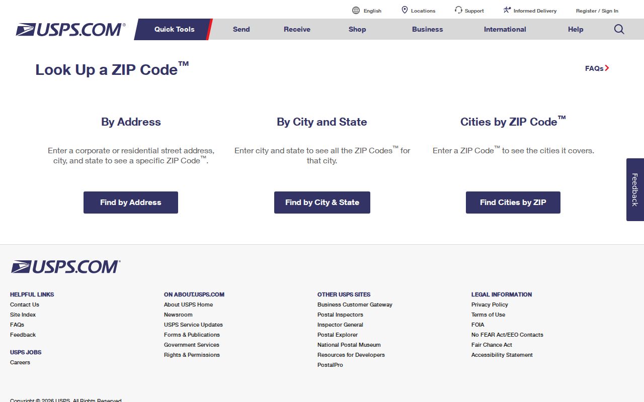
The USPS result should be paired with GIMS and the Auditor, because USPS routing alone does not identify a township boundary or a parcel's legal description.
Beavercreek Township ZIP Code Searches
The Greene County Auditor's advanced location form has a combined City, State ZipCode selector. It can narrow an ambiguous property search, but it is not a ZIP boundary map and the research did not establish a ZIP-wide result count. The Auditor's global field accepts a parcel number, owner name, or address. For property work, start with a street number, street, and parcel whenever possible, then use the locality selector as a supporting control. The Recorder is party, document, and record-placement led rather than ZIP led.
| Global property search | Search by parcel number, owner name, or address. |
|---|---|
| Street Number | Optional address-number field in the advanced location search. |
| Street and suffix | Street-name field with direction and suffix controls. |
| Unit fields | Optional unit designator and unit value. |
| City, State ZipCode | Optional combined locality selector used to narrow a property search, not to prove a ZIP boundary. |
| Included Property Types | Real Estate and Manufactured Home controls. |
The Ohio voter lookup is not a ZIP search. It requires first name, last name, and county, then may offer a street-name narrowing control after a search. It can confirm registration, precinct, and polling-location information within the statutory public display limits, but it should not be used as a browseable ZIP-wide roster.
Ohio Revised Code 3503.153 describes the public website's permitted voter-record fields.
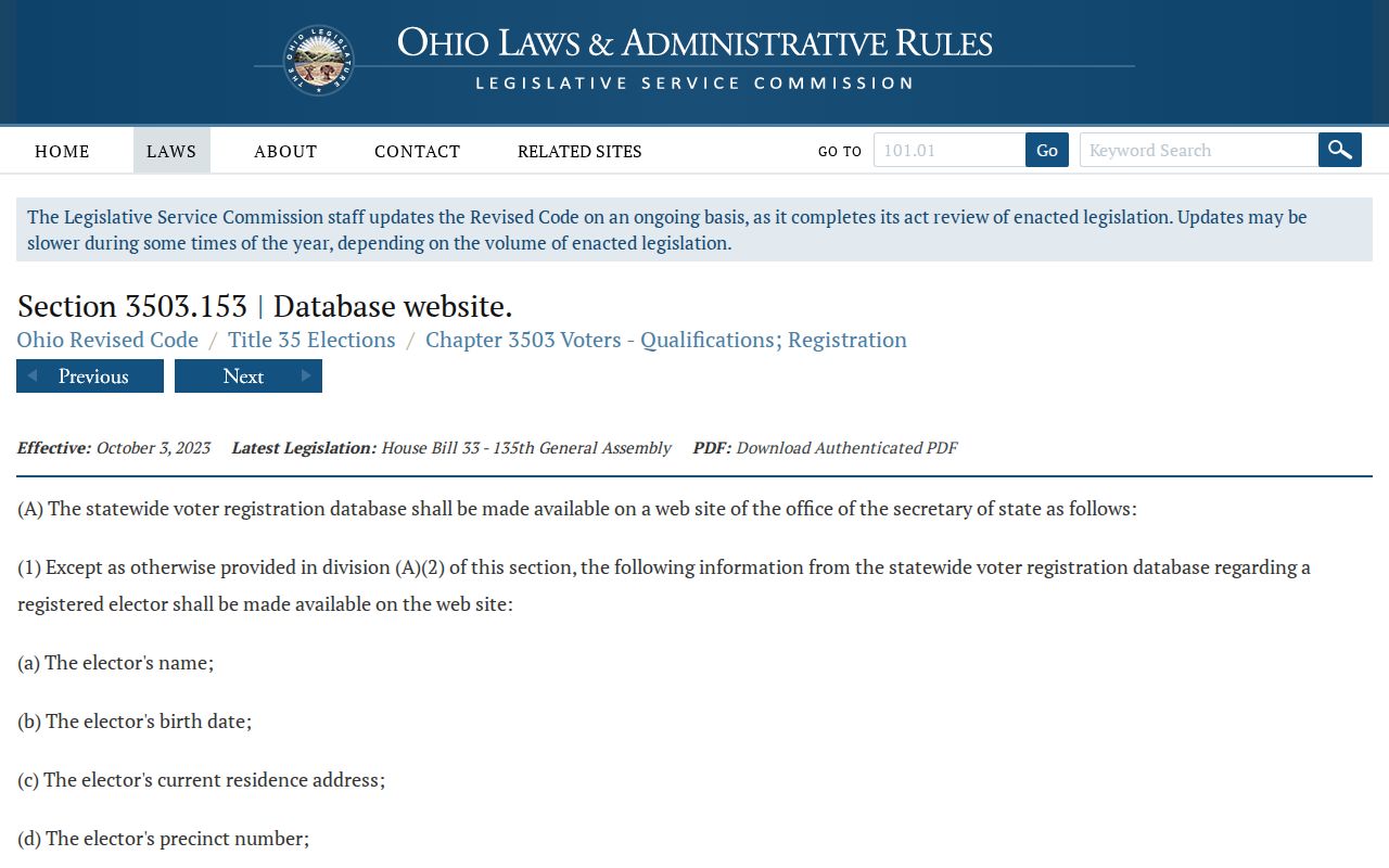
The statute reinforces the boundary between a named voter check and a ZIP-based effort to assemble a list of local people.
Beavercreek Township ZIP Code Parcel Clues
Parcel number and legal description carry more weight than a modern ZIP when a search crosses postal labels. The Auditor property record can provide a parcel number, ownership, property address, legal description, valuation, transfers, and other assessment context. GIMS locates the parcel and related map geography. The Greene County Recorder then supplies the recorded-document path through grantor, grantee, instrument type, recording placement, and legal-description evidence. An owner mailing address may differ from the physical situs address, so it should not be read as proof that every listed person lives there.
For a street-by-street parcel workflow, the Beavercreek Township street directory keeps the fuller address-record route separate from this ZIP-focused task. Historical work may need an even longer trail. The Recorder's online index begins in 1984, while deeds are held from 1803 and the Archives has transcribed deeds for 1804 through 1864. The Recorder counter, Archives, and Greene County Room microfilm are the documented fallback channels when a parcel search reaches that online boundary.
Beavercreek Township ZIP Code Address Requests
Address assignment is different from address lookup. Greene County's addressing form is for a legally deeded property owner, or someone with the owner's written consent, to request a single address. It can handle a primary address, a secondary address for certain structures or utilities, and limited construction or new-development situations. It is not a directory search and should not be used to seek someone else's location. The property-owner rule is especially important where a ZIP label and a township boundary already create uncertainty.
The form asks for applicant name, property location, contact details, parcel number, requested address type, structure type, recorded-plat status where applicable, and a description or comments field. Its sample parcel format is B03-0001-0001-0-0001-00, or the same number without hyphens. A final-platted address follows the required planning approval and Recorder recording process. For a public map or parcel question, use GIMS or the Auditor instead of the address-assignment form.
Beavercreek Township ZIP Code Limits
A ZIP boundary, a city name, and a township line answer different questions. Greene County's GIS legend makes the local overlap visible by associating 45431 with both Beavercreek City and Beavercreek Township. The township borders or meets City of Beavercreek, Fairborn, Xenia Township, Sugarcreek Township, and the greater Dayton postal area. Check GIMS and Auditor taxing or parcel context before sending a request to an office. The township zoning map is useful zoning geography, while the parcel tools establish the property and taxing context.
- ZIP Code
- A USPS delivery-routing code. It does not establish city, township, or tax jurisdiction.
- ZIP+4
- An added delivery segment used by USPS for a more specific route or address. It is not a parcel identifier.
- PO-box ZIP
- A ZIP used for post-office-box delivery. It cannot be assumed to identify a physical residence.
- Carrier route
- A delivery-route grouping that may cross local lines. It is not a legal boundary or a list of households.
- Legal description
- The lot, block, subdivision, survey, section, or metes-and-bounds wording in deeds and plats. It is the durable bridge across address changes.
Note: When a place name, ZIP, and parcel map disagree, the full delivery address and the county parcel record are the practical verification pair.
Historic Beavercreek Township ZIP Clues
Older records often need more than a current ZIP Code. The county property guide warns that street names and house numbers may have changed. A legal description, historic road name, lot or subdivision reference, and the county atlases for 1855, 1874, and 1896 may connect an older directory or deed to a current parcel. The Greene County Room has city directories, historic newspapers, deed-index microfilm, historic-property inventory, and map resources; the Archives supplies maps, catalog searches, digitized material, reading-room access, and reference requests.
The modern county grid is a current addressing authority, not proof that an older rural address used the same number. Search the historical locality named in the record, then compare a dated map or deed description. That cautious approach is more accurate than trying to force a nineteenth-century road or rural route into a current ZIP code directory.